-
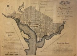
The Plan of the City of Washington, by Thackera & Vallance, Engraving, c. 1892, 21.5 x 28.5 inches
-
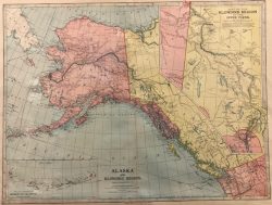
Alaska and Klondike Region, by J. Martin Miller (1859-1939), Steel Engraving, 1899, 16 x 23 inches
-
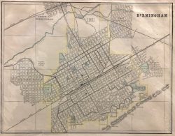
Birmingham / Charleston, by George Franklin Cram (1841 - 1928), Steel Engraving, 1891, 15 x 11 inches
-
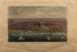
Chicago, by Charles Magnus (1826-1900), Hand Colored Copper Engraving, c. 1860's, 6 x 9 inches
-
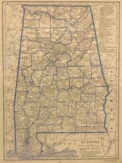
County Map of Alabama, by C.S. Hammond & Co., Steel Engraving, 1927, 12 x 9 inches
-
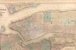
Map of New York and the Adjacent Cities, by Colton, Steel Engraving, 1855, 16 x 26 inches
-
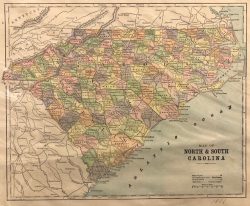
Map of North and South Carolina, by E.F. Fisk, Steel Engraving, 1896, 9.25 x 11.5 inches
-
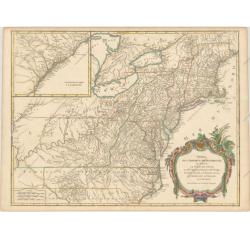
Partie de l'Amerique Septentrionale, qui Comprend le Cours de l'Ohio, la Nlle. Angleterre, la Nlle York, le New Jersey, la Penylvanie,le Maryland la Virginie, la Caroline, by Robert de Vaugondy, Didier, hand colored engraving, 24.6 x 18.8 inches
-
 SOLD
SOLD
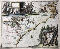
Virginiae Partis Australis, et Floridae, by Montanus, Arnoldus (1625 - 1683), hand colored engraving, 14 x 11.5 inches
-
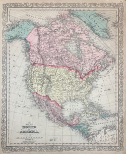
Map of North America, by Johnson & Ward, hand colored steel engraving,1863, 16 x 13 inches
-
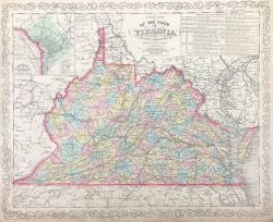
Map of Virginia, by Johnson & Ward, hand colored steel engraving, 1863, 13 x 16 inches
-
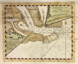
Ocracoake Inlet Survey, by Edmund M. Bluecat, hand colored engraving, c. 1817, 6.75 x 8.25 inches
-
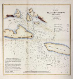
U.S. Coast Survey Beaufort Harbor, by Alexander Dallas Bache (1806-1867), hand colored copper engraving, c.1864, 22 x 20 inches
-
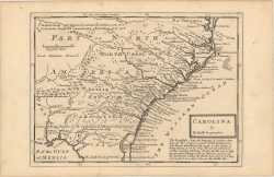
Map of Colonial Southeastern United States - , by Moll Herman, engraving, c. 1736, 11 x 8 in
-
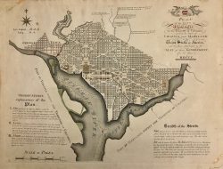
Plan of the City of Washington D.C., by James Thackara & John Vallance, hand colored copper engraving, 1921 edition, 22.5 x 29.5 inches
-
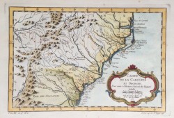
Carte De La Caroline et Georgie, by Jacques-Nicolas Bellin, hand colored copper engraving, 1746-1757, 8.5 x 12.5 inches
-
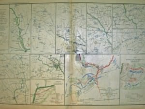
Campaign Maps of the 20th Corps, by Julius Bein & Co., hand colored steel engraving, 1865, 18 x 29 inches
-
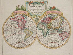
Mappe-Monde, by Joseph de Laporte, hand colored copper engraving, 1786, 8 x 10 inches
-
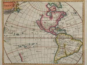
America, by Philip Cluver, hand colored copper engraving, 1730, 8 x 10 inches
-
 SOLD
SOLD
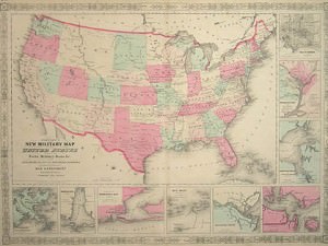
Map of the United States, by Johnson & Ward, hand colored steel engraving, 1863, 18 x 24 inches
-
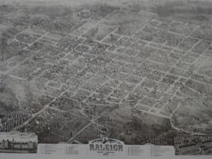
Raleigh, Map of North Carolina, 1872 , by Camille N. Drie, contemporary offset lithograph, 20 x 27 inches
-
 SOLD
SOLD
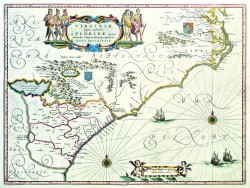
Virginia partis australis et Florida, by Willem J. Blaeu, hand colored copper engraving, 1640, 15 x 20 inches
-
 SOLD
SOLD
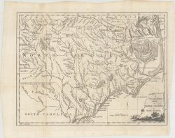
North Carolina 1779 Map , by Universal Magazine, engraving, c. 1779, 14 x 10.5 inches
-
 SOLD
SOLD
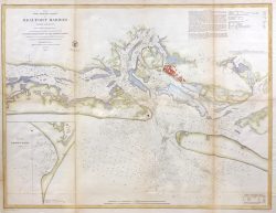
Beaufort Harbor, North Carolina, by U.S. Coast Survey Chart, hand colored engraving, c. 1854, 24 x 30.5 inches
-
 SOLD
SOLD
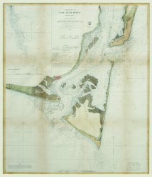
Entrances to Cape Fear River, NC, by U.S. Coast Survey Chart, hand colored steel engraving, 1866, 30.5 x 20.5 inches
-
 SOLD
SOLD
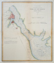
Port of New Berne, NC, by U.S. Coast Survey Chart, hand colored steel engraving, 1867, 17.5 x 15 inches
-
 SOLD
SOLD
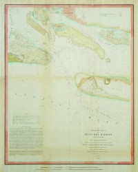
Beaufort Harbor, NC, by U.S. Coast Survey Chart, hand colored steel engraving, 1851, 18 x 14 inches
-
 SOLD
SOLD
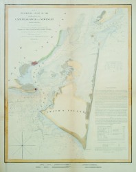
Cape Fear River and Inlet, by U.S. Coast Survey Chart, hand colored steel engraving, 1853, 18 x 14 inches
-
 SOLD
SOLD
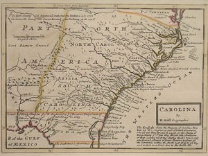
Carolina, by Herman Moll, hand colored copper engraving, 1729-1755, 9 x 12 inches
-
 SOLD
SOLD
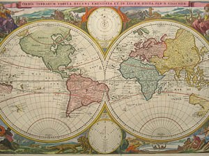
Orbis Terrarum Tabula, by Nicolaas Visscher, hand colored copper engraving, 1663, 13 x 19 inches
-
 SOLD
SOLD
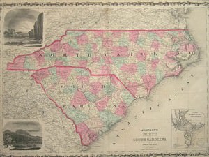
Map of North & South Carolina, by Johnson & Browning, hand colored steel engraving,1861, 18 x 24 inches
-
 SOLD
SOLD
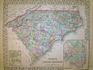
North & South Carolina, by Mitchell, hand colored steel engraving, 1882, 12 x 15 inches


 SOLD
SOLD


 SOLD
SOLD


 SOLD
SOLD

 SOLD
SOLD
 SOLD
SOLD
 SOLD
SOLD
 SOLD
SOLD
 SOLD
SOLD
 SOLD
SOLD
 SOLD
SOLD
 SOLD
SOLD
 SOLD
SOLD
 SOLD
SOLD
 SOLD
SOLD

 SOLD
SOLD
 SOLD
SOLD
 SOLD
SOLD
 SOLD
SOLD

